




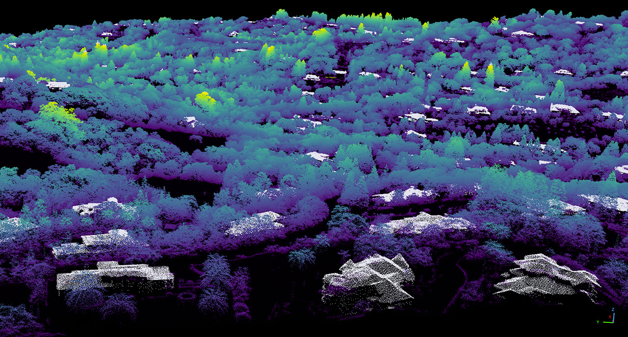
NASA researchers have created detailed 3D topographic maps for California, measuring down to the scale of individual trees. This initiative is part of their Wildfire, Ecosystem Resilience, and Risk Assessment program.
The team utilized airborne lidar technology that employs pulsed lasers to measure distance, combining this with data from the U.S. Geological Survey’s 3D Elevation Program. The resulting maps have a pixel resolution of one square meter, significantly finer than the typical resolution of 10 to 25 square meters per pixel found in most space-based lidar data.
Lidar, which stands for light detection and ranging, is a scientific method used to produce comprehensive 3D representations of various environments, including forests and urban areas, as well as extraterrestrial landscapes.
Collaborating with the California Natural Resources Agency and the California Air Resources Board, NASA’s team aims to leverage these high-resolution maps to develop strategies that assess wildfire risks, protect wildlife and ecosystems, and manage natural resources throughout the state.
The lidar dataset can be accessed online for further analysis and research.
This initiative is part of NASA’s broader efforts to enhance environmental resilience and mitigate the impacts of wildfires in California.
