




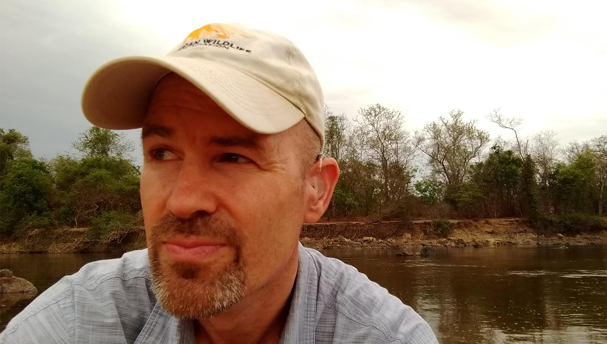
As Africa prepares for significant economic growth, the challenge of balancing development with biodiversity conservation has gained urgency. With nearly half of the world’s fastest-growing economies projected to be in Africa by 2025, leaders are exploring effective strategies to ensure that economic progress does not compromise the continent’s natural ecosystems. David Gerard Williams, Senior Director of Conservation Geography at the African Wildlife Foundation (AWF), discussed the crucial role of geospatial intelligence in this effort ahead of the 17th Conference of the Parties to the Convention on Biological Diversity, which will convene in Yerevan, Armenia, from October 19 to 30, 2026.
Williams emphasized that AWF’s focus on geospatial intelligence goes beyond mere map creation; it centers on how this information can empower decision-making across Africa. The true value of geospatial intelligence, he explained, lies in its capacity to support informed choices that positively impact biodiversity.
In a recent initiative at Cameroon’s Dja Faunal Reserve, AWF collaborated with Esri to utilize their Degradation Dashboard. This tool identified alarming road expansions within the reserve’s buffer zone in 2023. Combining predictions of potential illegal forest activities with high-resolution satellite imagery enabled local wildlife authorities and UNESCO to engage local communities and mitigate further encroachments.
Similarly, in Tanzania’s Vidunda catchment, the AWF’s Conservation Geography team applied spatial analysis to identify forest restoration sites crucial for maintaining water quality for downstream users, including local farmers and the commercial sugar industry. Their assessment prioritized areas such as steep slopes and existing montane forest edges, highlighting locations where restoration could enhance both water security and wildlife habitats.
As infrastructure and agricultural production grow in Africa, the decisions made regarding development locations will significantly impact biodiversity. Roads can foster connectivity for communities, yet they risk fragmenting habitats and hindering wildlife movement. Therefore, planners are increasingly leveraging geospatial intelligence to balance ecological priorities with developmental needs before finalizing plans.
The Amboseli Ecosystem Geospatial Hub, developed with Kajiado County, exemplifies this approach by providing stakeholders with a shared visual understanding of ecological priorities, threats, and land use scenarios. This collaborative framework allows competing interests to be evaluated against solid evidence.
AWF’s Geospatial Leaders Fellowship seeks to nurture leadership among African conservation professionals. The fellowship equips participants with the necessary technical skills to use geospatial tools effectively and empowers them to drive evidence-based decision-making within their organizations and the conservation sector at large. It aims to build a network of experts who can advocate for practical conservation initiatives.
Furthermore, the Africa Protected Area Directors (APAD) network enhances this impact by linking protected area leaders, helping to foster collaborative management practices driven by substantial evidence.
In light of global biodiversity commitments articulated in the Kunming–Montreal Global Biodiversity Framework, which aims to conserve 30% of land and sea and restore degraded ecosystems by 2030, reliable geospatial data will be essential for tracking progress and planning efforts. Williams noted that the critical challenge is not the availability of data but effectively communicating it to those in decision-making roles.
“Information must reach the people who can act on it, whether they are rangers, planners, policymakers, or investors,” Williams said. AWF is actively working to make spatial data more accessible, enhancing the visibility of biodiversity information gathered at the field level.
With expanding infrastructure and economic opportunities in Africa, the decade ahead is seen as pivotal for biodiversity preservation. Successful navigation of this period will require a concerted commitment, investments in geospatial resources, and collaboration with technology partners.
Ultimately, Williams argues for a shift in perspective, viewing geospatial intelligence not just as a technical tool, but as a strategic asset that can inform various futures. By empowering African leaders with critical geospatial insights, the gap between global biodiversity commitments and local action can be effectively bridged, fostering an integrated approach to conservation and development.
