




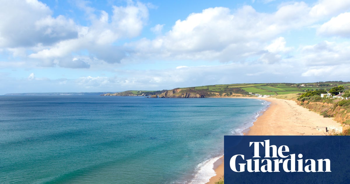
The CoastSnap project, which began in Australia in 2017, is revolutionizing the way researchers track shoreline changes globally. Utilizing the contributions of citizen scientists armed with camera phones, the initiative has established a network of monitoring stations at beaches worldwide.
Participants can easily take part by using a cradle that holds their phone while they photograph the coastline, guided by a sign that provides instructions on where to submit their images. This user-friendly setup has attracted a significant number of volunteers who help document the dynamic changes along shorelines.
CoastSnap is designed to capture the natural shifts in beach landscapes caused by varying weather conditions. Large waves and high tides can erode sand, while calmer periods often lead to beach build-up. Sandbars also undergo transformations, appearing and disappearing with the flow of waves and tides. This project enables researchers to monitor these alterations over time, determining which changes are temporary and which may be lasting.
Each photograph submitted via CoastSnap is taken from a consistent position and angle, ensuring accuracy in the data collection process. Advanced software aligns the images and uses a geometric transformation to convert them into a bird’s-eye view. The system also accounts for tidal variations by referencing the timestamp of each submission.
The information gathered through CoastSnap aids researchers in analyzing coastal erosion patterns, assessing the impact of specific storms, and evaluating the success of beach replenishment efforts where additional sand or shingle is added to the shoreline.
Currently, there are over 200 CoastSnap stations located in 21 countries, including the United Kingdom. This initiative has developed into the largest coordinated, land-based coastal monitoring program in the world, enhancing our understanding of coastal dynamics.
As citizen scientists continue to contribute to this global effort, researchers are poised to gain deeper insights into the health and changes of coastlines, helping to inform future conservation and management efforts.
